Crop modeling and remote sensing
Crop modeling helps the scientist to understand the basic interactions of soil, plant, and atmosphere. Predictions can be made based on the assessment of current and expected crop performance. This requires the past and the present weather and crop data to predict the performance in the future.
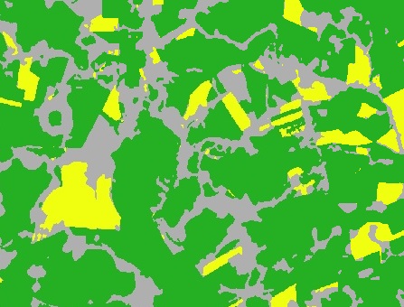
Our project aims to map crop type classification incorporating crop modeling simulations and remote sensing data for crop type classification.
For this project we have being utilized APSIM crop model for generate simulations of soybean and corn growth for retrieve variables to combine with remote sensing data to build a data set for crop type classification in Northwest Rio Grande do Sul, Brazil.
Luan Pierre Pott
PhD student in Agricultural Engineering
My research interests include digital agriculture, remote sensing, crop modeling and machine learning